
Anúncios
Exploring nature has never been easier thanks to modern trail apps that transform your smartphone into a personal outdoor guide, opening doors to countless adventures.
Whether you’re an experienced hiker or just beginning your outdoor journey, trail applications have revolutionized how we interact with wilderness areas.
Anúncios
These digital companions provide real-time navigation, safety features, and community-driven insights that make exploring unfamiliar terrain both exciting and secure.
From mountain peaks to coastal paths, forest trails to desert landscapes, these apps empower adventurers to discover hidden gems while staying connected to essential route information.
Anúncios


Let’s dive into how these powerful tools can enhance your next outdoor experience and help you create unforgettable memories in nature. 🌲
Why Trail Apps Have Become Essential for Modern Adventurers
The days of relying solely on paper maps and uncertain trail markers are behind us. Today’s trail applications combine GPS technology, crowdsourced data, and offline capabilities to deliver comprehensive navigation solutions right in your pocket.
These apps serve multiple purposes beyond simple navigation. They function as safety tools, providing emergency location sharing and weather alerts. They act as personal journals, recording your achievements and progress over time. Most importantly, they connect you to a global community of outdoor enthusiasts who share valuable insights about trail conditions, difficulty levels, and hidden viewpoints.
The accessibility factor cannot be overstated. Trail apps democratize outdoor exploration by removing barriers that once intimidated newcomers. You no longer need extensive orienteering skills or expensive specialized equipment to confidently venture into nature. Your smartphone, loaded with the right application, becomes a comprehensive outdoor toolkit.
Core Features That Make Trail Apps Indispensable
Understanding what features to look for helps you choose the application that best matches your adventure style. Modern trail apps typically offer a robust suite of capabilities designed to enhance every aspect of your outdoor experience.
GPS Navigation and Offline Maps
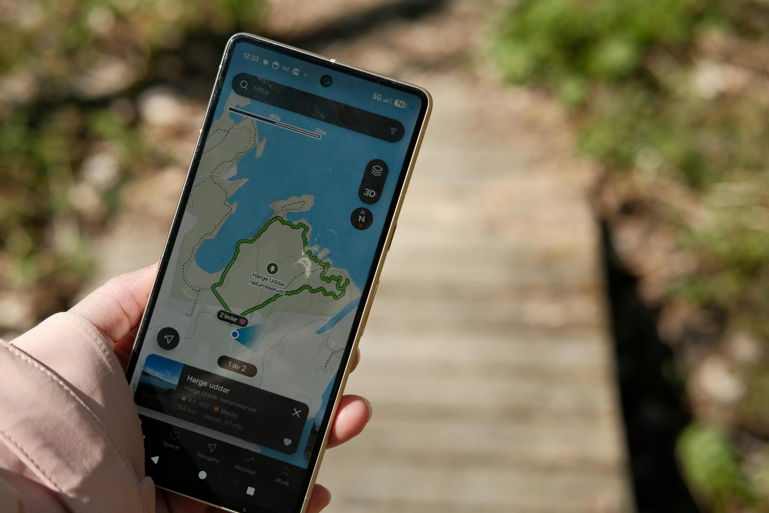
The foundation of any quality trail app is reliable GPS navigation. These systems track your real-time location on downloaded maps, showing exactly where you stand relative to the trail. The offline map functionality proves crucial when hiking in remote areas without cellular coverage, ensuring you never lose access to critical navigation data.
Most premium applications allow you to download entire regions before your trip, storing detailed topographic maps directly on your device. This preparation means you can confidently explore even the most isolated wilderness areas without worrying about losing your way.
Route Planning and Discovery
Trail apps excel at helping you discover new routes matched to your skill level and interests. Advanced filtering options let you search by distance, elevation gain, difficulty rating, and activity type. Whether you prefer challenging mountain ascents or gentle nature walks, you’ll find trails suited to your preferences.
The planning tools enable you to preview routes virtually before committing. You can examine elevation profiles, read recent reviews from other hikers, view photos of specific trail sections, and estimate how long the journey will take based on your typical pace.
Safety and Emergency Features
Safety mechanisms built into trail applications provide peace of mind for both hikers and their loved ones. Location sharing features allow family or friends to monitor your progress in real-time. If you encounter trouble, you can quickly share your precise coordinates with emergency services.
Weather integration alerts you to changing conditions that might affect your hike. Some apps include SOS functions that work even with limited connectivity, sending distress signals with your location data to emergency contacts or rescue services.
Recording Your Adventures: Digital Trail Journals
Beyond navigation, trail apps transform into personal adventure diaries. The recording features automatically capture detailed information about every hike, creating a comprehensive log of your outdoor activities.
During your trek, the app tracks distance covered, elevation gained, time spent, and pace maintained. Many applications also allow you to take geotagged photos directly within the platform, associating images with specific locations along your route. This creates a rich multimedia record of your journey.
After completing a hike, you can review statistics, relive the experience through your photos, and add personal notes about memorable moments or trail conditions. Over time, these records build into an impressive portfolio of your outdoor achievements, showing your progression and favorite destinations. 📊
Community Connection: Sharing and Learning from Fellow Hikers
The social dimension of trail applications adds tremendous value. These platforms foster vibrant communities where outdoor enthusiasts exchange knowledge, recommendations, and encouragement.
When you share your completed routes, you contribute valuable current information about trail conditions, obstacles, seasonal changes, and scenic highlights. Your reviews and photos help future hikers make informed decisions about which trails to attempt.
Conversely, you benefit from the collective wisdom of thousands of other users. Before attempting a new trail, you can read recent trip reports, see photos from different seasons, and learn about potential challenges. This crowdsourced intelligence proves far more current and practical than traditional guidebooks.
Many apps include following features, allowing you to connect with hikers whose tastes align with yours. You can discover new routes through their shared adventures and even coordinate group hikes with community members in your area.
Discovering Hidden Gems and Unexplored Paths
Trail applications excel at revealing lesser-known routes that traditional tourism resources overlook. The extensive databases contain everything from popular national park trails to obscure local footpaths known only to area residents.
The search and filtering capabilities help you uncover trails matching very specific criteria. Looking for a moderate 5-mile loop with waterfall views less than an hour from your location? Most trail apps can deliver precisely that, often presenting options you never knew existed.
User-generated content plays a vital role in expanding these databases. When local hikers upload their favorite neighborhood trails, they share local knowledge that benefits the entire community. This democratization of trail information means you gain access to insider knowledge regardless of your familiarity with an area. 🗺️
Tailoring Your Experience: Customization and Preferences
Modern trail apps understand that every adventurer has unique needs and preferences. Robust customization options ensure the application adapts to your specific requirements rather than forcing you into a one-size-fits-all approach.
You can set preferences for measurement units, difficulty assessments, notification types, and display modes. Athletes training for specific goals might emphasize pace and heart rate data, while casual hikers might prioritize scenic photography opportunities and points of interest.
Activity-specific modes optimize the experience for different outdoor pursuits. Settings differ for hiking, trail running, mountain biking, rock climbing, or kayaking, ensuring relevant information displays prominently for your chosen activity.
Battery Management and Technical Considerations
One legitimate concern about using smartphones for navigation involves battery consumption. GPS tracking, screen usage, and data processing can drain batteries quickly, potentially leaving you without navigation mid-hike.
Fortunately, trail apps incorporate various battery-saving features. Background tracking modes minimize screen-on time while still recording your route. Airplane mode prevents cellular signal searching while allowing GPS functionality. Many experienced hikers also carry portable battery packs, ensuring their device remains powered throughout extended adventures.
Additionally, downloading maps before your trip eliminates the need for data connectivity during your hike, significantly reducing battery drain. Adjusting screen brightness and closing unnecessary background applications further extends battery life.
Integration with Wearable Technology
The synergy between trail applications and wearable devices creates an even more seamless outdoor experience. Smartwatches and fitness trackers pair with trail apps, allowing you to check navigation prompts, track statistics, and control recording without constantly pulling out your phone. ⌚
This integration proves particularly valuable during challenging sections requiring both hands for scrambling or maintaining balance. Quick glances at your wrist provide necessary information without breaking your stride or compromising safety.
Wearables also contribute additional biometric data like heart rate and cadence, enriching your activity records with physiological insights. This information helps you understand your fitness progression and optimize training for more ambitious goals.
Environmental Awareness and Leave No Trace Principles
Quality trail applications promote responsible outdoor recreation by incorporating environmental education and Leave No Trace principles. Many apps include information about local ecosystems, wildlife, and conservation efforts, deepening your appreciation for the landscapes you explore.
Some platforms highlight trail maintenance needs and volunteer opportunities, connecting users with organizations that preserve and improve trail systems. By participating in these initiatives, you give back to the outdoor community and ensure trails remain accessible for future generations.
Trail condition reporting features also support environmental stewardship. When you note erosion, damaged infrastructure, or environmental hazards, land managers receive valuable information that guides maintenance priorities and resource allocation.
Premium Features Worth Considering
While many trail apps offer robust free versions, premium subscriptions unlock enhanced capabilities that serious adventurers often find worthwhile. Understanding what these upgrades provide helps you decide whether the investment aligns with your outdoor ambitions.
Advanced planning tools in premium tiers might include detailed topographic overlays, 3D trail previews, and extensive route customization options. Enhanced offline capabilities often allow unlimited map downloads rather than restricting you to specific regions.
Professional-grade statistics appeal to athletes and data enthusiasts, offering granular performance metrics, comparative analyses, and training insights. Premium tiers also typically remove advertisements and provide priority customer support.
Preparing for Your First App-Guided Adventure
Ready to experience nature with digital guidance? Proper preparation ensures your inaugural app-assisted hike goes smoothly and builds confidence for future adventures.
Start by downloading your chosen application several days before your planned hike. Familiarize yourself with the interface at home, exploring features without the pressure of real-world navigation. Practice basic functions like searching for trails, downloading maps, and starting route recording.
Select an appropriate beginner trail for your first outing—something well-traveled with good cell coverage, allowing you to experiment with app features in a forgiving environment. Download offline maps for the area even if you expect cellular service, establishing good habits for future remote adventures.
Inform someone of your plans, sharing your intended route and expected return time. While trail apps enhance safety, traditional precautions remain important. Carry essentials like water, snacks, appropriate clothing, and a basic first aid kit. 🎒

Maximizing Your Trail App Experience Throughout the Seasons
Trail applications shine year-round, but each season presents unique opportunities and considerations for outdoor exploration. Adapting your approach to seasonal conditions enhances both safety and enjoyment.
Spring hiking often involves navigating muddy conditions and swollen streams. Recent trail reports from other users prove invaluable for understanding current conditions. Summer adventures might focus on high-elevation routes offering cooler temperatures, while fall provides spectacular foliage viewing opportunities that apps can help you time perfectly.
Winter trail usage requires additional preparation. Snow and ice obscure trail markers, making GPS navigation even more critical. Some apps include specific winter route recommendations and avalanche awareness information for appropriate regions.
Building Skills Beyond the App
While trail applications provide incredible convenience and safety, they work best as complements to fundamental outdoor skills rather than complete replacements. Developing traditional navigation abilities ensures you remain capable if technology fails.
Consider using your app-guided hikes as opportunities to learn map reading and compass navigation. Compare the digital route to paper maps, noting how terrain features appear in both formats. Practice identifying landmarks and developing your innate sense of direction.
Understanding weather patterns, recognizing trail markers, assessing terrain difficulty, and making sound outdoor decisions all remain essential skills. Technology enhances these abilities but shouldn’t replace the critical thinking and judgment that keep adventurers safe in wilderness settings.
The Future of Trail Technology: What’s Coming Next
Innovation in outdoor technology continues rapidly, with exciting developments on the horizon. Augmented reality features promise to overlay trail information directly onto your camera view, identifying peaks, landmarks, and points of interest in real-time.
Artificial intelligence integration might soon provide personalized route recommendations based on your fitness level, preferences, and past activities. Predictive modeling could suggest optimal times for specific hikes based on weather patterns, crowd levels, and seasonal conditions.
Enhanced social features may create more interactive community experiences, perhaps including live group challenges or virtual guided tours narrated by experts. The intersection of outdoor recreation and technology will undoubtedly continue evolving, offering increasingly sophisticated tools for nature enthusiasts. 🚀

Transforming Ordinary Walks into Extraordinary Adventures
Trail apps don’t just guide you through nature—they fundamentally transform how you experience the outdoors. What might have seemed like an intimidating wilderness becomes an accessible playground full of possibilities. Routes that once required local expertise or professional guides now open to anyone with curiosity and a smartphone.
The confidence these applications provide encourages people to venture beyond familiar territory, discovering new landscapes and pushing personal boundaries. That confidence translates into more frequent outdoor activity, improved physical health, enhanced mental wellbeing, and deeper connections with nature.
Every trail holds stories waiting to be discovered, viewpoints that take your breath away, and moments of connection with the natural world. Trail applications serve as keys unlocking these experiences, making adventure accessible regardless of your starting point or experience level.
Download a trail app today, explore the routes near you, and take that first step toward your next outdoor adventure. The trails are calling, and now you have everything you need to answer with confidence. Your journey into nature’s wonders begins with a single download and continues as far as your curiosity leads you. 🌄